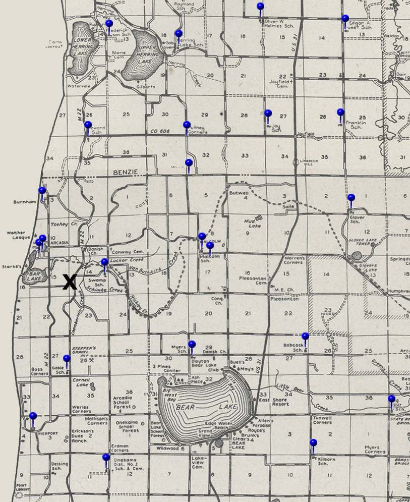
Arcadia Area School Map
Next | Previous | Return to Start
| This is a map from the 1940s identifying schools in the Arcadia area at the time. Pushpins highlight school locations. The X marks the probable location of an earlier school, known locally as the Manke school. This school was long gone when the map was published. | |
|
|
|
School Details |
|
Do You Have School Information to Share?
If you have information to share about these or other schools in the area, please contact us.
